
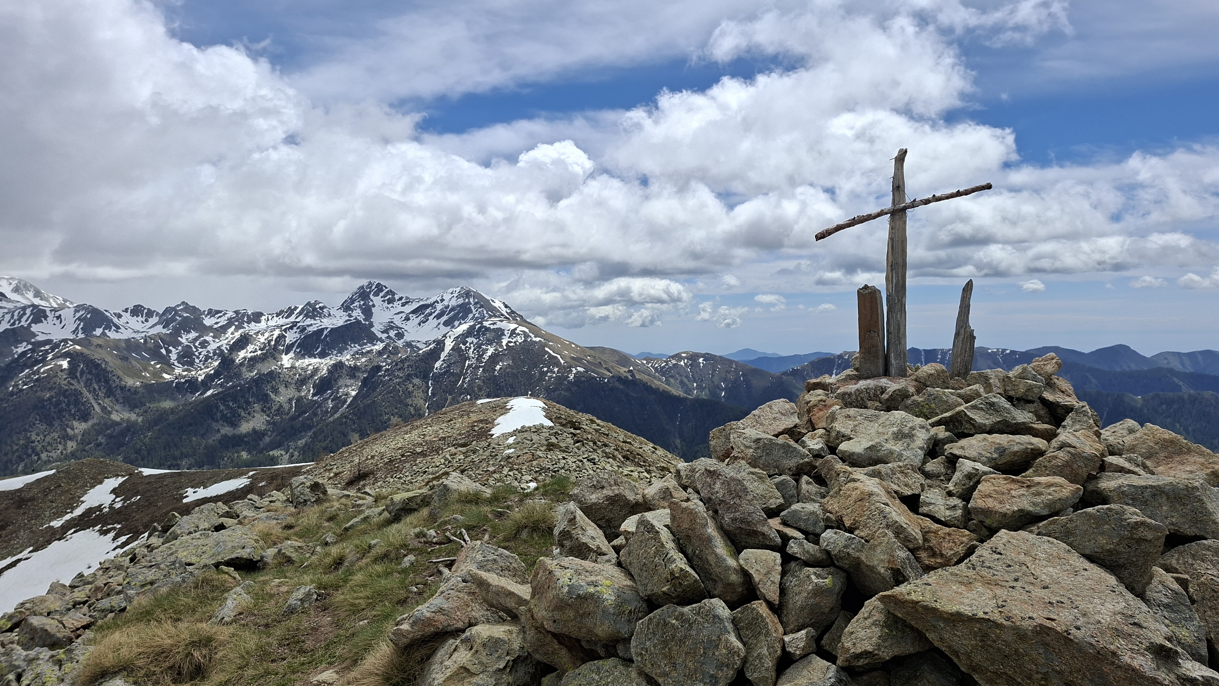
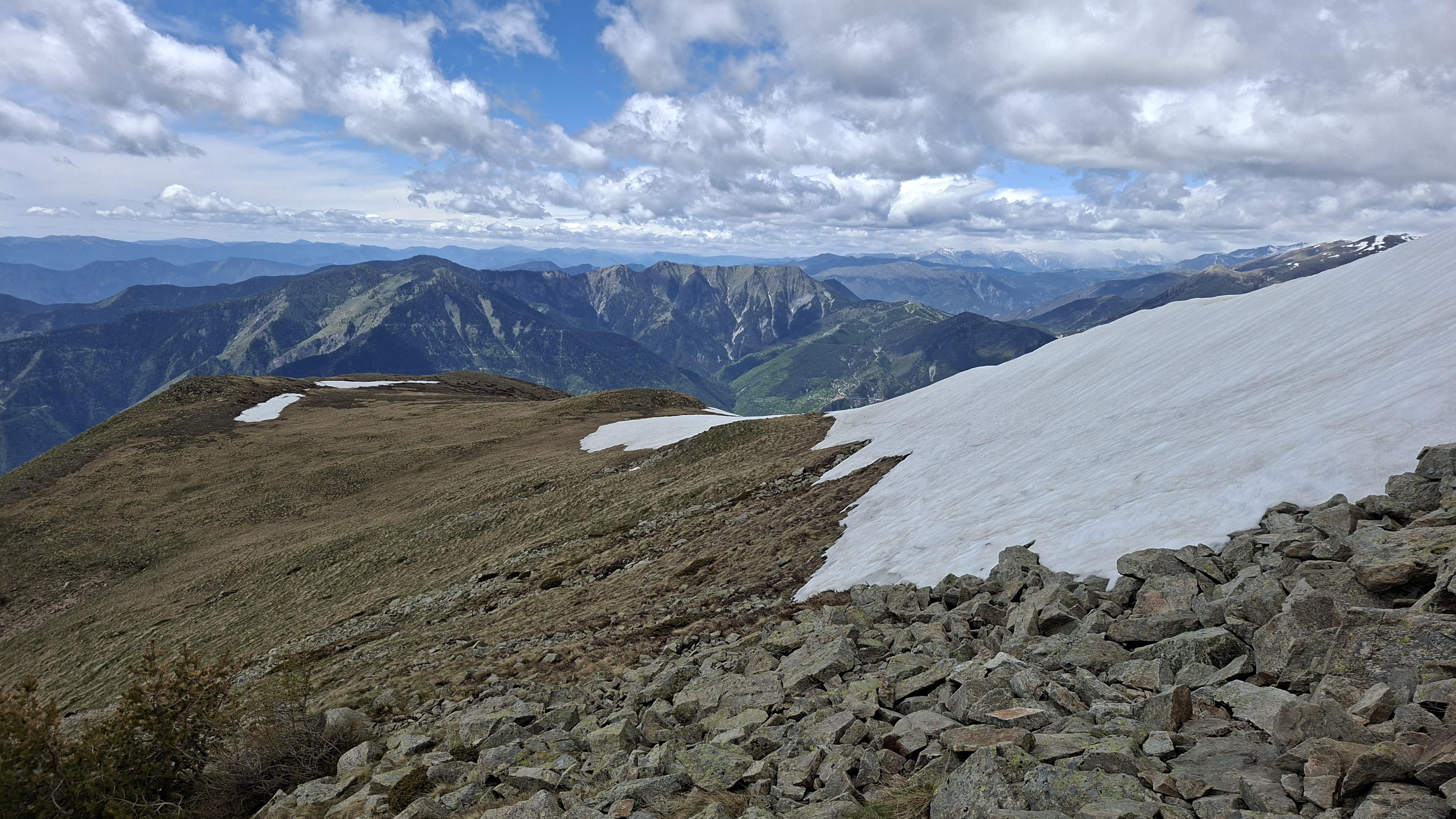
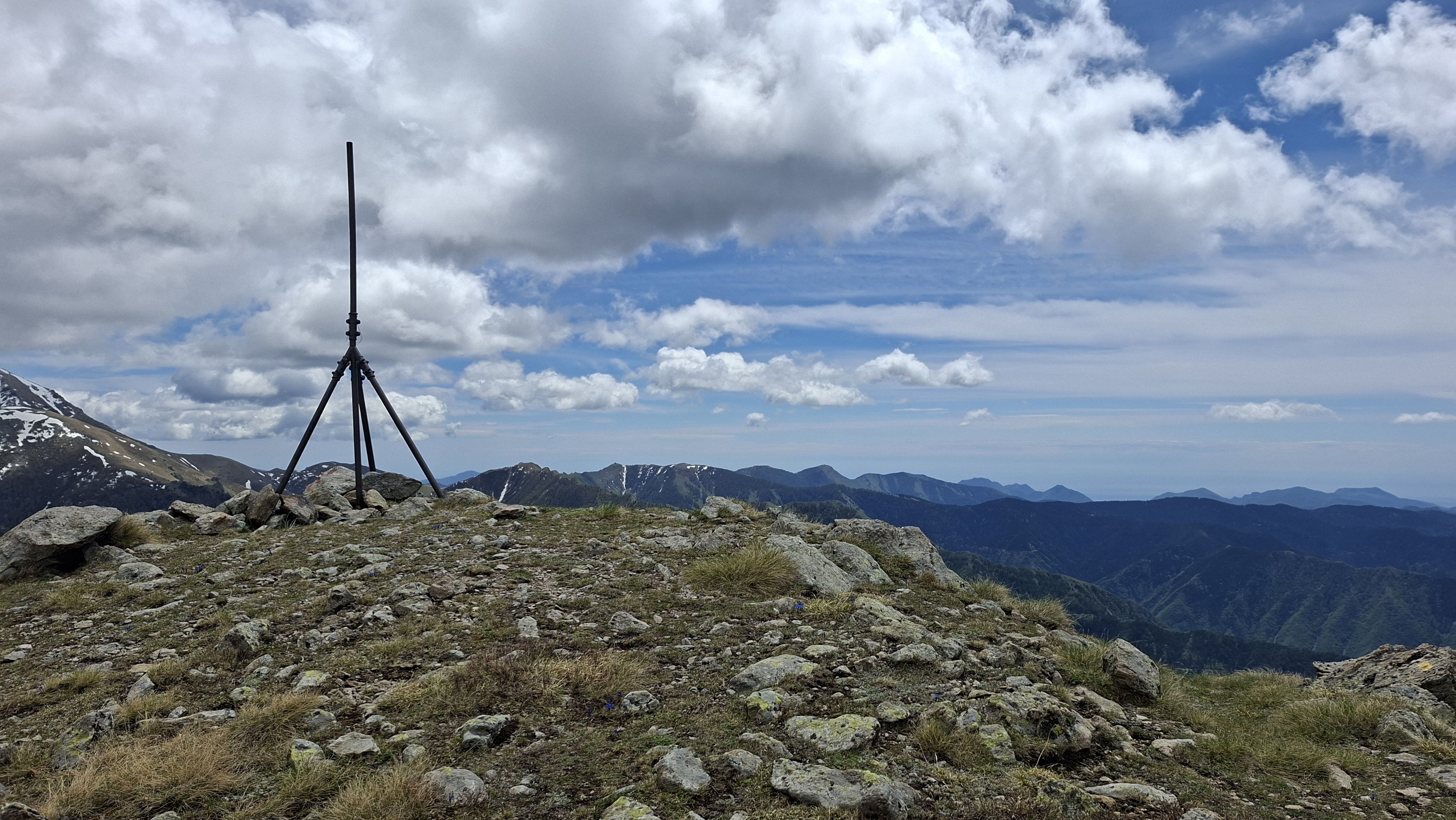
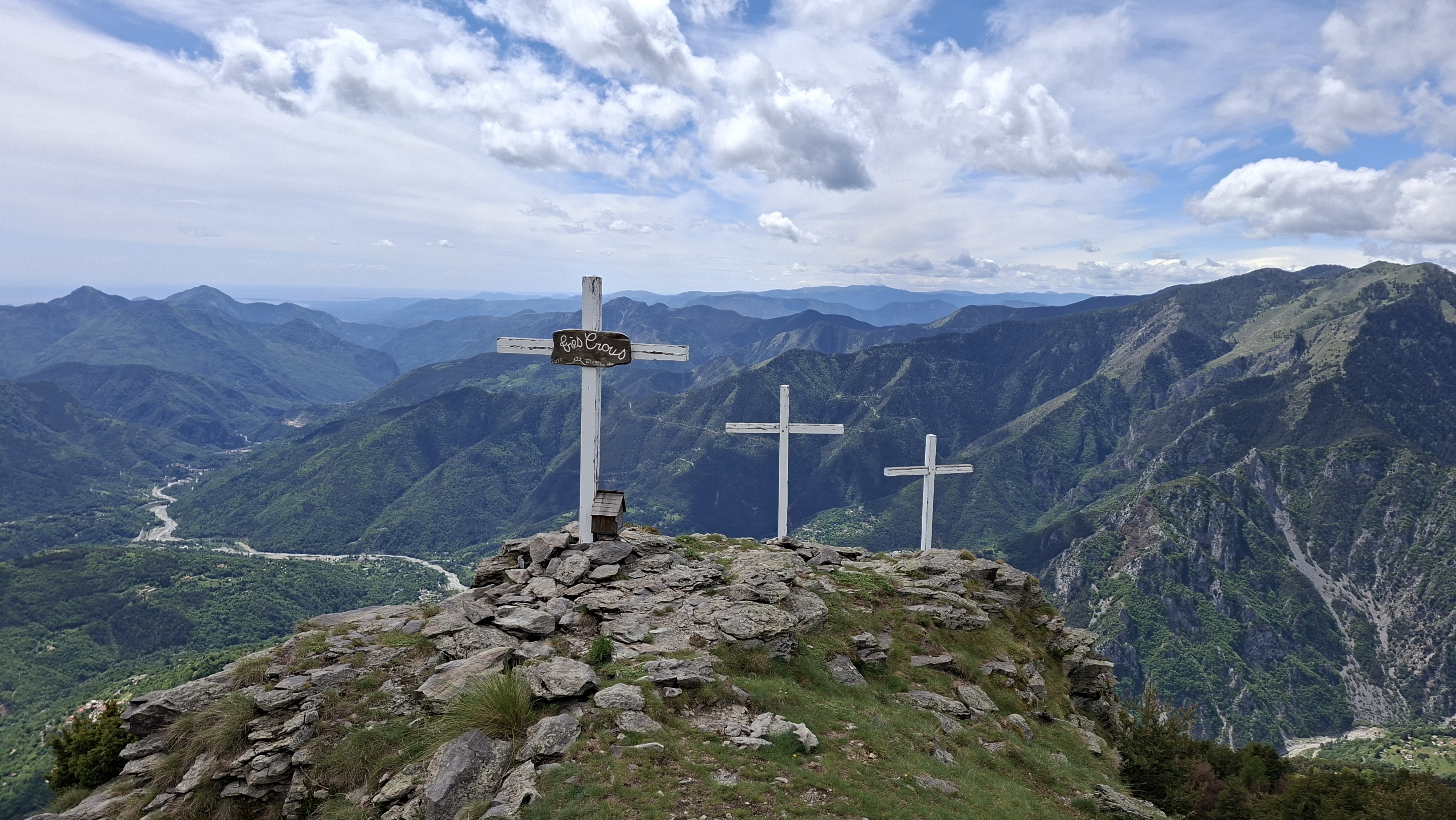
Cime du Montjoia
May 14, 2026
Berthemont-les-Bains, Provence-Alpes-Côte d'Azur, France
Difficult
Distance 23.81 km
Est. duration 04h 54m
Elevation Gain 1457 m
Elevation Loss 1431 m
Category Trail
Description

No description for now...
Route
Start
6.88 km
44.04588, 7.32962
7.41 km
44.04169, 7.32867
11.30 km
44.05651, 7.35275
11.31 km
44.05652, 7.35281
11.63 km
44.05619, 7.34932
11.97 km
44.05470, 7.34641
14.02 km
44.04019, 7.33508
14.38 km
44.03906, 7.33212
23.81 km
Finish